


Transportation information for Sioux City is provided below. Travel information includes driving directions, maps, airport information and more.
Transportation Services
South Sioux Taxi
- South Sioux City
- Transportation Services
- 402-494-8041
Taxi Xpress
- Sioux City
- Transportation Services
- 712-577-1111
Get N Go Limo Co
- Le Mars
- Transportation Services
- 712-546-5142
Airports
The Sioux Gateway airport is currently served by Northwest Airlines offering seven daily nonstop flights to Minneapolis. The Des Moines International airport, located 156 miles east of Sioux City. Serves all other International and domestic travelers.
Sioux Gateway/Col. Bud Day Field
- 6 miles S from Sioux City
- SUX
- Public
- 712-279-0170
Map + Directions
Basic Directions
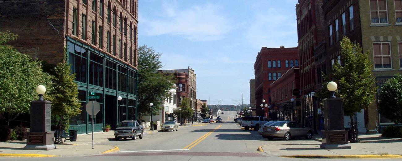
Sioux City is located in western Iowa near the South Dakota and Nebraska border. It is 97 miles north of Omaha, Nebraska and 122 miles west of Fort Dodge and is accessible via Interstate Highway 29 and U.S. Interstate Highways 20 and 75. There are many hotels, motels, and bed and breakfast in the area.

